
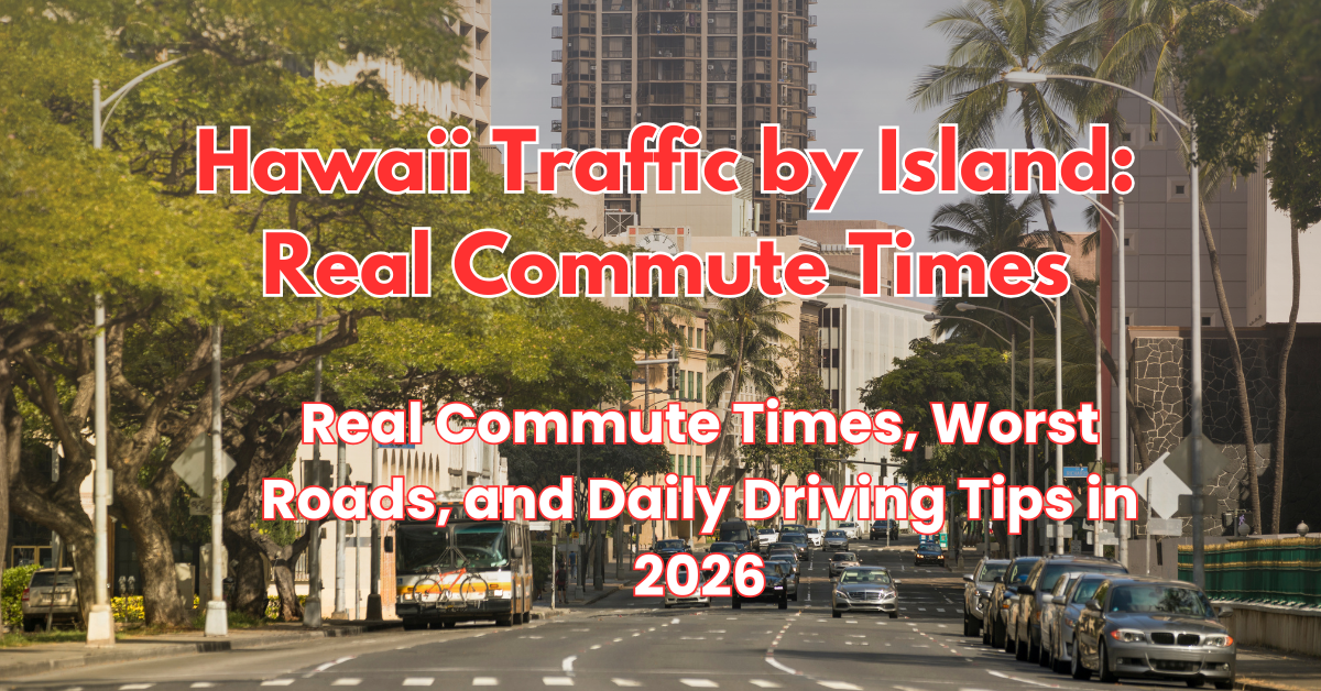
Hawaii Traffic by Island: Real Commute Times, Worst Roads, and Daily Driving Tips in 2026
When people picture moving to Hawaii, they often imagine cruising along open coastal highways with the trade winds blowing through their windows and the ocean beside them. While those drives certainly exist on weekend afternoons, the Monday through Friday reality of commuting in the islands looks very different. Understanding hawaii traffic commute times 2026 conditions is one of the most critical steps you can take before signing a lease or buying a home anywhere in the state.
Take the Quiz: Is Hawaii Right For You? Meet with a Living in Hawaii Expert!
Hawaii presents a unique geographic challenge for transportation planners and drivers alike. Each island is defined by dramatic volcanic topography. Communities are separated by steep mountain ranges, narrow coastal plains, and protected conservation land. As a result, transportation corridors are severely constrained. On most islands, there is only one primary highway connecting residential bedroom communities with commercial hubs, military installations, or resort centers. When an incident occurs on a single artery, traffic does not simply slow down; it comes to a complete standstill because alternative detours frequently do not exist.
According to data from the Hawaii Department of Transportation (HDOT), regional traffic volumes on major state corridors have climbed back to and in several key areas exceeded pre-pandemic baselines. Between school drop-offs, daily worker commutes, ongoing highway maintenance, and commercial deliveries, navigating island roads requires strategic planning. In this detailed guide, we break down real commute times, notorious bottlenecks, pros and cons, and practical driving tips across Oahu, Maui, Hawaii Island, and Kauai for 2026.
Oahu Commutes: The Epicenter of Island Congestion
Oahu is home to nearly one million residents, plus millions of visitors each year, concentrated on an island that is only 44 miles long and 30 miles wide. Because the vast majority of jobs are centered in urban Honolulu, Waikiki, and major military installations, hundreds of thousands of vehicles move in identical directions every morning and reverse course every afternoon.
The Ewa Beach and Kapolei to Urban Honolulu Corridor
The commute from West Oahu into downtown Honolulu remains one of the most demanding in the entire country relative to mileage. West Oahu communities like Ewa Beach, Kapolei, and Makakilo have absorbed the bulk of Oahu’s residential development over the past two decades. However, the Interstate H-1 freeway serves as the sole high-capacity artery heading eastward toward town.
During free-flowing hours late at night or mid-day on weekends, driving the 22 miles from Ewa Beach to downtown Honolulu takes roughly 30 to 35 minutes. During peak morning rush hour between 5:45 AM and 8:15 AM, that same journey regularly takes anywhere from 65 to 95 minutes. The bottleneck begins early along Fort Weaver Road, where thousands of residents merge toward H-1. Once on the freeway, the merge points at the Pearl City Viaduct and the interchange near Aloha Stadium create severe friction.
Central Oahu: Mililani, Wahiawa, and the Military Gate Effect
Central Oahu connects to town via the Interstate H-2 freeway, which merges directly onto the H-1 near Pearl City. Residents living in Mililani or Wahiawa face a steady 15-mile trek that ranges from 25 minutes off-peak to 55 or 75 minutes during morning drive times. If you are balancing a move alongside military orders, you can learn more about daily gate patterns in our guide on living near military bases in Hawaii, where gate inspections and shift changes at Schofield Barracks or Joint Base Pearl Harbor-Hickam (JBPHH) compound regional delays on Kamehameha Highway and Radford Drive.
Windward Oahu: Kailua and Kaneohe Commutes
Windward residents enjoy three stunning mountain routes that cut through the Koolau Range: the Pali Highway (Route 61), the Likelike Highway (Route 63), and the Interstate H-3 freeway. Distance-wise, Windward Oahu is close to town, often just 12 to 16 miles. Off-peak drives take 20 to 25 minutes. Morning peak drives typically average 40 to 60 minutes. The H-3 offers the most reliable flow directly into Halawa and the airport industrial area, while the Pali and Likelike filter vehicles directly into downtown Honolulu and Kalihi.
The Role of the Skyline Rail in 2026
Honolulu’s Skyline rail system continues to shape regional transit patterns. Operating from East Kapolei through Aloha Stadium and progressing toward Kalihi and downtown, the rail provides an alternative for commuters whose destinations align with its transit stations. While it has relieved some baseline pressure on secondary surface streets, many suburban residents still prefer their private vehicles due to first-mile and last-mile transit gaps. Deciding on your daily transportation setup is a major consideration, which we explore thoroughly in our article answering do you need a car on your island.
Pros and Cons of Commuting on Oahu
-
Pro: Oahu possesses the state’s only interstate highway system, featuring high-occupancy vehicle (HOV) lanes and morning contraflow zipper lanes that reward carpooling.
-
Pro: Multiple cross-island routes exist between Windward Oahu and Honolulu, offering practical alternate paths during incidents.
-
Con: West-to-East morning commutes are among the slowest per mile in the United States.
-
Con: Ongoing rail construction, surface utility work, and regular road repairs create lingering construction slowdowns across urban Honolulu corridors.
Maui Traffic: Linear Choke Points and Tourism Corridors
Maui does not have an interstate system. Instead, it relies on two-lane and four-lane state highways connecting residential valleys, agricultural lands, and coastal resort districts. Because the island is shaped like two distinct volcanic masses joined by a central isthmus, travel between regions funnels through narrow natural gaps.
West Maui to Central Maui: Honoapiilani Highway
The drive along Honoapiilani Highway (Route 30) connects Lahaina, Kaanapali, and Kapalua with Wailuku and Kahului. This coastal route hugs dramatic sea cliffs along the Pali section. Under normal conditions, driving between Lahaina and Kahului takes about 45 minutes across 24 miles. However, Route 30 is famous for vulnerability. Because the highway is bordered by sheer rock faces on one side and the Pacific Ocean on the other, brushfires, heavy surf run-up, or vehicle collisions can close the road for hours. During peak commuter hours or midday rental car turnover on weekends, this trip frequently extends to 75 minutes or longer.
South Maui to Central Maui: The Kihei Commute
Kihei and Wailea in South Maui house both residential neighborhoods and major resort employers. Commuters travel along Piilani Highway (Route 31) and the Mokulele Highway (Route 311) to reach Central Maui’s commercial centers. The 13-mile drive from Kihei to Kahului is one of Maui’s smoothest corridors, generally taking 20 to 30 minutes. However, congestion concentrates heavily at the intersections along South Kihei Road and the junction where Mokulele Highway feeds into Puunene Avenue during morning and afternoon shift changes.
Upcountry Maui: Makawao, Pukalani, and Kula
Upcountry communities sit along the slopes of Haleakala, offering cooler temperatures and pastoral settings. The commute down Haleakala Highway (Route 37) toward Kahului covers 12 to 18 miles. The descent is generally swift, taking 25 to 35 minutes outside of peak school drop-off hours. In the morning between 7:00 AM and 7:45 AM, traffic backs up near King Kekaulike High School and where Route 37 merges with Hana Highway near the Kahului airport corridor.
Pros and Cons of Commuting on Maui
-
Pro: Daily drives through Upcountry and along the Mokulele Highway offer expansive mountain and coastal scenery that reduces commute stress.
-
Pro: Central Maui features a grid-like layout in Kahului and Wailuku that allows for practical detour options during local neighborhood slowdowns.
-
Con: West Maui has only one primary paved arterial connection to the rest of the island, creating severe vulnerability during emergencies or major accidents.
-
Con: Midday traffic spikes significantly on weekends and flight-turnover days around Kahului Airport and resort corridors.
Big Island Commuting: Deceptive Distances and Two-Lane Corridors
Hawaii Island is larger than all other main Hawaiian islands combined. You will rarely experience bumper-to-bumper city gridlock like Honolulu on the Big Island, but you will contend with immense physical distances, severe elevation changes, and two-lane rural highways that test your patience and fuel budget.
East Hawaii: The Puna to Hilo Commute
The Puna District, including subdivisions like Hawaiian Paradise Park, Orchidland, and Fern Acres, is the fastest-growing region on the Big Island due to land affordability. However, almost all commercial services, major healthcare facilities, and government jobs are located in Hilo. Commuters travel northbound on Highway 130 to connect with Highway 11 into Hilo.
While the distance from Keaau to downtown Hilo is only 9 miles, the morning drive can take 45 to 60 minutes between 6:30 AM and 8:15 AM. HDOT operates a morning contraflow shoulder lane on Highway 130 to ease the bottleneck, but the volume of vehicles entering from side avenues creates continuous stop-and-go conditions. Adding to driving expenses, the wear and tear of long rural commutes contributes directly to the cost of car ownership in Hawaii, where fuel, tires, and maintenance run higher than national averages.
West Hawaii: Kona to Kohala Resort Corridor
On the leeward side, thousands of hospitality, construction, and service professionals live in Kailua-Kona, Holualoa, or Waikoloa Village and commute northward along Queen Kaahumanu Highway (Route 19) to the luxury resorts along the South Kohala coast. The 25 to 35-mile drive across black lava fields typically takes 35 to 45 minutes during off-peak hours. In the early morning hours between 6:00 AM and 7:30 AM, heavy construction fleets and tour buses limit passing opportunities, pushing transit times past an hour. In town, Kuakini Highway and Palani Road experience intense morning and evening bottlenecks.
Cross-Island Travel: The Daniel K. Inouye Highway (Saddle Road)
Connecting East and West Hawaii, Route 200 cuts across the high saddle plateau between Mauna Kea and Mauna Loa. Rising above 6,500 feet in elevation, this modern multi-lane highway has transformed cross-island transit, cutting the trip from Hilo to Kona down to approximately 75 to 90 minutes across 78 miles. While traffic flows freely at high speeds, drivers must navigate sudden thick fog banks, heavy rain squalls, and roaming feral cattle, making situational awareness essential.
Pros and Cons of Commuting on the Big Island
-
Pro: Daniel K. Inouye Highway provides a fast, wide, well-maintained trans-island route connecting East and West Hawaii.
-
Pro: You rarely sit in stationary gridlock outside of the specific Keaau and Kailua-Kona choke points.
-
Con: Massive driving distances require high fuel consumption and lead to rapid vehicle depreciation.
-
Con: Limited street lighting, sudden mountain fog, and wild animals make rural night commuting demanding.
Kauai Commuting: The Two-Lane Island Challenge
Kauai is known as the Garden Isle, but its transportation network is the most fragile of the four major islands. A single primary highway, Kuhio Highway (Route 56 and Route 560) on the North and East, and Kaumualii Highway (Route 50) on the South and West, loops roughly three-quarters of the island. The central mountains prevent any road from crossing the interior.
The Kapaa Crawl: Kauai’s Most Notorious Bottle Neck
The eastern corridor between Kapaa and Lihue represents the island’s primary commercial artery. Kapaa is Kauai’s most populated residential community, while Lihue houses the county government, commercial shipping harbor, airport, and major medical centers. The distance between central Kapaa and Lihue is only 8 miles, yet during the morning and afternoon peaks, this drive regularly takes 40 to 55 minutes.
Known locally as the Kapaa Crawl, this slowdown is caused by numerous commercial driveways, pedestrian crossings, turning traffic, and the merge point near the Wailua River bridge. HDOT operates a morning contraflow lane along Kuhio Highway between Kapaa and Hanamaulu, which provides noticeable relief for southbound morning drivers, but northbound afternoon traffic remains heavily congested.
South Shore to Lihue
Traveling from Koloa or Poipu to Lihue covers roughly 12 miles via Maluhia Road (the Tree Tunnel) and Kaumualii Highway. Outside of rush hour, this scenic drive takes 20 to 25 minutes. Morning congestion builds where Route 50 narrows near the Knudsen Gap and as vehicles approach the Kukui Grove commercial center in Lihue, stretching commute times to 35 or 45 minutes.
Pros and Cons of Commuting on Kauai
-
Pro: Overall travel distances are short, with most daily commutes covering under 15 miles total.
-
Pro: Morning contraflow operations through Wailua effectively cut southbound drive times for East Side workers.
-
Con: Virtually no secondary detour roads exist if Kuhio Highway or Kaumualii Highway is blocked.
-
Con: The Kapaa commercial corridor experiences persistent daytime sluggishness regardless of the day of the week.
Real Commute Times Comparison at a Glance (Peak Hours)
To help you evaluate housing locations against realistic daily travel windows, here is how typical peak-hour commutes compare across the islands in 2026:
-
Ewa Beach to Downtown Honolulu (Oahu): 22 miles | Off-peak: 32 mins | Morning Peak: 65 to 95 mins
-
Mililani to Downtown Honolulu (Oahu): 15 miles | Off-peak: 25 mins | Morning Peak: 50 to 75 mins
-
Kailua to Downtown Honolulu (Oahu): 12 miles | Off-peak: 22 mins | Morning Peak: 38 to 55 mins
-
Lahaina to Kahului (Maui): 24 miles | Off-peak: 45 mins | Peak Traffic: 65 to 85 mins
-
Kihei to Kahului (Maui): 13 miles | Off-peak: 20 mins | Peak Traffic: 30 to 45 mins
-
Keaau to Downtown Hilo (Big Island): 9 miles | Off-peak: 16 mins | Morning Peak: 40 to 60 mins
-
Kailua-Kona to Waikoloa Beach (Big Island): 26 miles | Off-peak: 35 mins | Peak Traffic: 45 to 65 mins
-
Kapaa to Lihue (Kauai): 8 miles | Off-peak: 18 mins | Peak Traffic: 40 to 55 mins
Practical Survival Tips for Hawaii Commuters in 2026
Adapting to island driving requires a shift in mindset and strategy. Here are proven steps seasoned residents use to protect their time and sanity:
1. Master the Departure Windows
In Hawaii, leaving your driveway 15 minutes earlier can save you 40 minutes of stationary idling. On Oahu, hitting the H-1 eastbound at 5:45 AM is a completely different experience than merging at 6:15 AM. Track your specific route across several weeks using live mapping apps to identify your neighborhood’s inflection point.
2. Understand Local Driving Etiquette
Island driving culture values patience and courtesy. Aggressive mainland maneuvers like tailgating, rapid lane-weaving, and excessive horn honking do not speed up traffic. In fact, they create unnecessary friction. Drivers routinely allow others to merge from side streets using the zipper method. A friendly wave of acknowledgment goes a long way toward keeping daily commutes orderly.
3. Monitor HDOT Electronic Feeds Daily
Because detour options are limited or nonexistent on Maui, Kauai, and rural sections of the Big Island, knowing road conditions before you leave home is mandatory. Follow HDOT road closure alerts, county police notifications, and real-time mapping services every morning before backing out of your driveway.
4. Choose Housing Relative to Your Workplace
The most effective traffic mitigation strategy is geographic proximity. While suburban neighborhoods often offer more square footage for the money, spending two to three hours inside your car each day quickly diminishes the lifestyle advantages of living in Hawaii. When comparing regions, factor commute reality into your long-term budget and quality-of-life calculations.
Leave A Comment